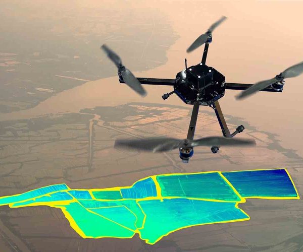
Surveying service by drone
The drone cadastral service is a modern technology that relies on the use of unmanned aerial vehicles (drones) equipped with advanced sensors to collect cadastral data from targeted areas. This service provides many advantages compared to traditional methods of surveying.

Description of Surveying By Drone
The drone cadastral service is a modern technology that relies on the use of unmanned aerial vehicles (drones) equipped with advanced sensors to collect cadastral data from targeted areas. This service provides many advantages compared to traditional methods of surveying.

High data accuracy
High precision sensors onboard the drone provide very accurate data.

High speed in data collection
High precision sensors onboard the drone provide very accurate data.

High cost efficiency
Drone surveying service can be more cost efficient than traditional methods, especially for large or complex projects.
High safety
The drone does not require a crew on the ground in dangerous or difficult-to reach areas.
Applications
Agriculture
To create field maps, assess crop health, and monitor irrigation systems.
Surveying
To create topographic maps, measure property boundaries, and perform other surveying tasks.
Construction
To create construction site maps, track progress, and measure volume.
Real Estate
To create real estate listings, measure land areas, and conduct virtual tours.
Inspection
To inspect infrastructure, such as bridges, pipelines, and power lines.
Mining
To create maps of mining sites, measure stockpiles, and monitor environmental impacts.
Steps for surveying service by Drone
The surveyor determines the project area, data requirements, and flight plan.
The drone flies over the project area and collects data using onboard sensors.
The collected data is processed to create maps, models, and other reports.
The surveyor analyzes the data to extract the required information.
our works
Over the past 8 years, we have successfully completed 150 projects in various fields of construction and civil engineering. Our projects have covered both government and private sectors, spanning all corners of the kingdom. Some of our notable projects include.
Why choose us?
Experience
We have a team with experience in the field of surveying using drones,
Efficiency
We use the latest drone and sensor technologies to collect data with high accuracy and efficiency
Accuracy
We apply high standards in data processing and analysis to ensure the accuracy of the results.
Safety
We adhere to the highest safety standards at all stages of work
